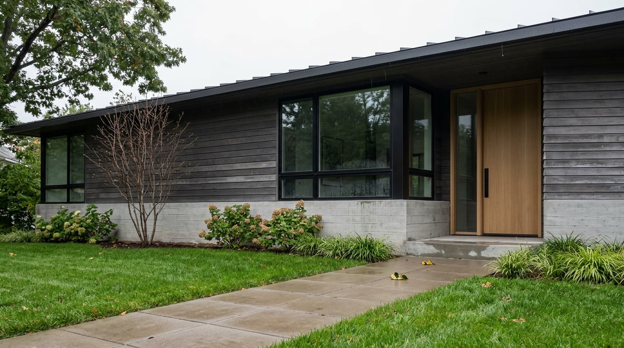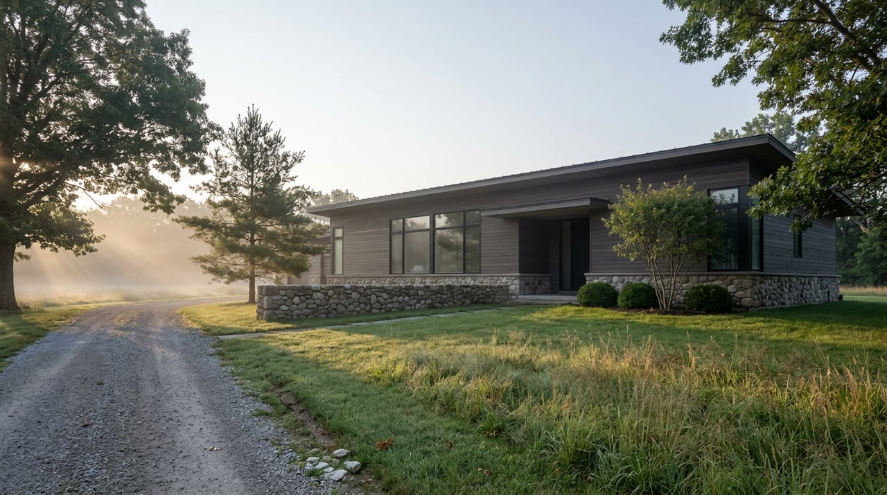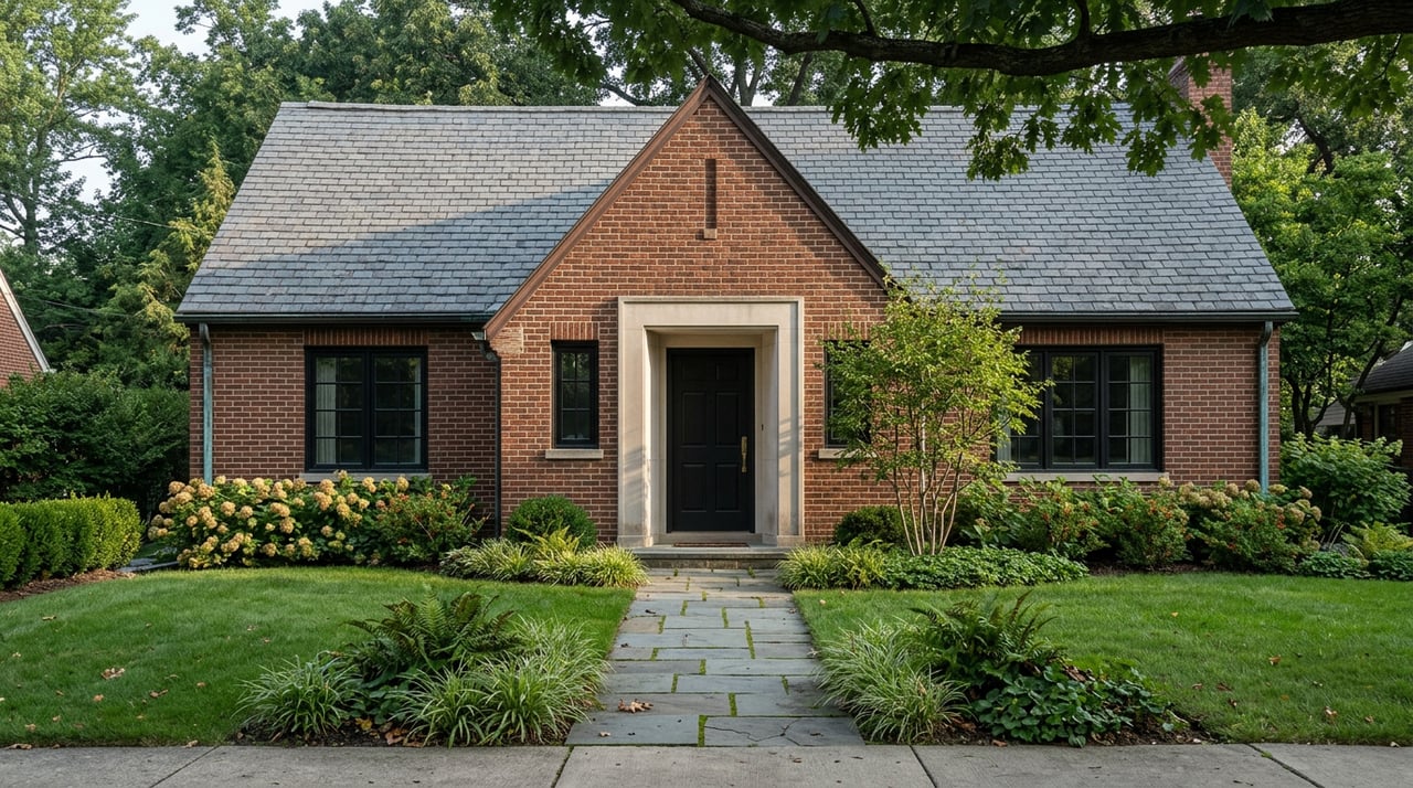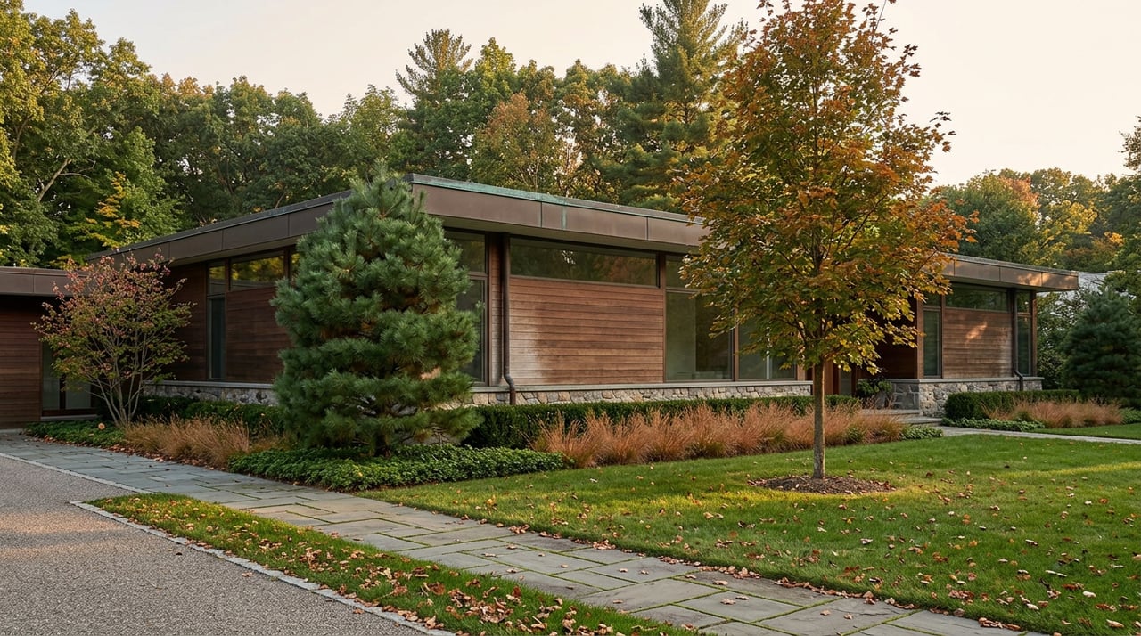
Walk any of the interior streets in Rothwell Heights and you will not pass a coffee shop, a corner store, or a community centre. That is not an oversight. When the land was subdivided out of Ben Rothwell's farm after the Second World War, commercial development was never part of the plan, and it still isn't. The document that governs the neighbourhood's small heritage pocket, Briarcliffe, still describes the original goal as preserving the natural landscape over anything resembling a commercial strip. Seventy-odd years later, that decision is still the reason the neighbourhood feels the way it does: private, wooded, and quiet enough that most of what counts as neighbourhood news doesn't happen on a street corner at all. It happens at the river.
That is worth sitting with if you live here, because it changes what "local news" even means in Rothwell Heights. There is no merchants' association tracking foot traffic, no strip mall newsletter. The organization that actually keeps an eye on things is the Rothwell Heights Property Owners Association, known to residents as the RHPOA, and it has been doing this since 1960, making it one of the longest continually active community associations in Ottawa. Annual membership runs fifteen dollars a household. Its job has never been to plan a garage sale. It exists to represent residents to the City, the province, and the federal agencies that actually control the land Rothwell Heights borders, chiefly the National Capital Commission.
That distinction matters right now, because the NCC has two things underway that will change how the neighbourhood connects to the water for years to come.
The Boat Launch Is Being Rebuilt While You're Reading This
At the end of Blair Road, where Rothwell Heights meets the Ottawa River, the NCC is in the middle of site preparation and landscaping work aimed at reshaping the Blair Boat Launch into something more than a place to drop a canoe. The plan, according to the RHPOA, includes a newly constructed terrace where the NCC intends to test a temporary food service operation before deciding whether to make it permanent. Work is ongoing on site, which means the boat launch you remember from last summer will not be the one you find this fall.
This is a small project by NCC standards, but it is the kind of change that only shows up if someone is watching the right meeting agendas. The RHPOA is that someone. If you have wondered why there is equipment at Blair lately, or why the shoreline near the launch looks different than it did a year ago, that is your answer.
The Trail Network Runs Through More History Than It Lets On
The boat launch connects to a longer story that most people walking or biking past it never hear. From Rothwell Heights, the Sir George-Étienne Cartier Parkway leads directly onto the Aviation Pathway, a paved, multi-use National Capital Commission trail that runs roughly five kilometers past the Canada Aviation and Space Museum and the RCMP Musical Ride grounds before linking into the wider Ottawa River Pathway system. It is flat, it is open year-round, and on a clear fall afternoon it is one of the more direct ways to get from a Rothwell Heights driveway to open water without touching a main road.
Two years ago, that pathway looked different. A roughly 500-metre stretch of the Ottawa River Pathway East near Green's Creek sat on ground that had become unstable, so the NCC rerouted it rather than patch it in place. The realignment was completed in the fall of 2024 and is now simply the trail, no different in appearance from the sections around it, but it exists because engineers decided the original route wasn't going to hold. Most people walking that stretch today have no idea it moved.
Green's Creek itself is worth the detour on its own terms. The conservation area holds 5.5 kilometers of trails cut through clay and postglacial deposits left behind by the ancient Champlain Sea, and it is one of the better spots in the city to spot fossil evidence of that vanished inland sea in the exposed ravine walls. Leashed dogs are allowed on the main trail from April 15 through November 30, and permitted year-round on the connecting Greenbelt Pathway East, which itself runs 4.6 kilometers toward the Ottawa River Pathway. Fall is the better season for the walk. Locals who use the trail regularly point to late summer and autumn as the stretch when the bugs finally ease off and the foliage turns, which makes September and October the practical window before winter converts the same hill into the neighbourhood's lit toboggan run.
There's a small, satisfying coincidence buried in the neighbourhood's own history here. Briarcliffe, the heritage pocket at the north edge of Rothwell Heights, takes half its name from the Kindle family, who bought the land in the early 1910s. Edward Martin Kindle, who lived there, was a professional paleontologist with the federal geological survey. A century later, the ravine less than a kilometer away is still giving up fossils to anyone who knows where to look. Nobody planned that continuity. It's just what happens when a paleontologist settles on ground that used to be under a sea.
Why the RHPOA Cares About a Planning Document You've Never Heard Of
This past May, the NCC held public consultations on its updated Master Plan for the National Capital Greenbelt, which includes Green's Creek and the pathway network Rothwell Heights residents actually use. One of the two open houses was held at St. Laurent Shopping Centre, a few minutes from the neighbourhood. The other was at the Richcraft Recreation Complex.
A master plan sounds bureaucratic until you realize it's the document that decides which trails get investment, which sections get realigned again if the ground shifts, and how a project like the Blair Boat Launch gets prioritized against everything else the NCC is juggling across the Greenbelt. The RHPOA tracks these plans specifically because they're the ones that quietly reshape a neighbourhood's edges over a decade, long after any single construction project wraps up. That is the actual function of a community association in a place with no storefronts to worry about. It isn't event planning. It's paying attention to the agencies that control the land on three sides of you.
What This Adds Up To If You Live Here
None of this requires a car. From most points in Rothwell Heights, the boat launch, the Aviation Pathway, and the Green's Creek trailhead are all within a short walk or a five-minute bike ride, particularly from the streets locals call the Rothwell Ridge, Davidson Drive, Rothwell Drive, and Cedar Road, where the elevation opens up views across the river toward the Gatineau Hills. The neighbourhood's lack of a commercial center was a deliberate choice made in the 1940s and 50s, and it is still the reason a boat launch renovation counts as neighbourhood news here in a way it wouldn't in a place with a Main Street to distract from it.
If you're the kind of resident who already checks the RHPOA's site before a NCC open house, none of this is new. If you're not, it might be worth a look next time you're heading down to Blair Road, if only to see the terrace before it opens.
For everything else about life and property in Rothwell Heights, from a candid look at how the neighbourhood's estate market actually moves to a straightforward valuation of your own home, the Zak Green Team is glad to help. Request a personalized market valuation whenever you're ready to talk specifics.